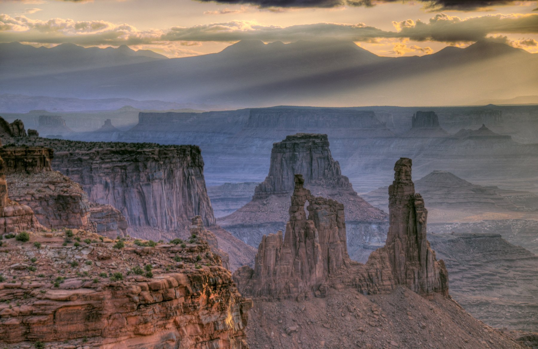
Canyonlands National Park is one of the great raw landscapes of the American West. The Colorado and Green rivers have carved the Colorado Plateau into a sprawling maze of canyons, mesas, and buttes — 527 square miles of red and orange sandstone in the canyon country of southeast Utah, near Moab.
The rivers divide the park into four distinct districts. Island in the Sky is the most visited: a high mesa with paved roads and sweeping overlooks across the entire basin. The Needles district, to the southeast, is defined by banded sandstone spires and has excellent hiking and backpacking. The Maze, to the west, is remote and genuinely difficult to reach — it's for experienced wilderness travelers only. The rivers themselves form the fourth district, navigable by raft and kayak.
The districts share the same spare desert character but are not connected by roads inside the park. Getting from one to another takes two to four hours by car, which means most visitors pick one district per trip and stay put.
Most people base themselves in Moab, 35 miles from the Island in the Sky entrance. Go in spring or fall — summer heat in the canyons is serious, and winter can close roads in the Maze and Needles.