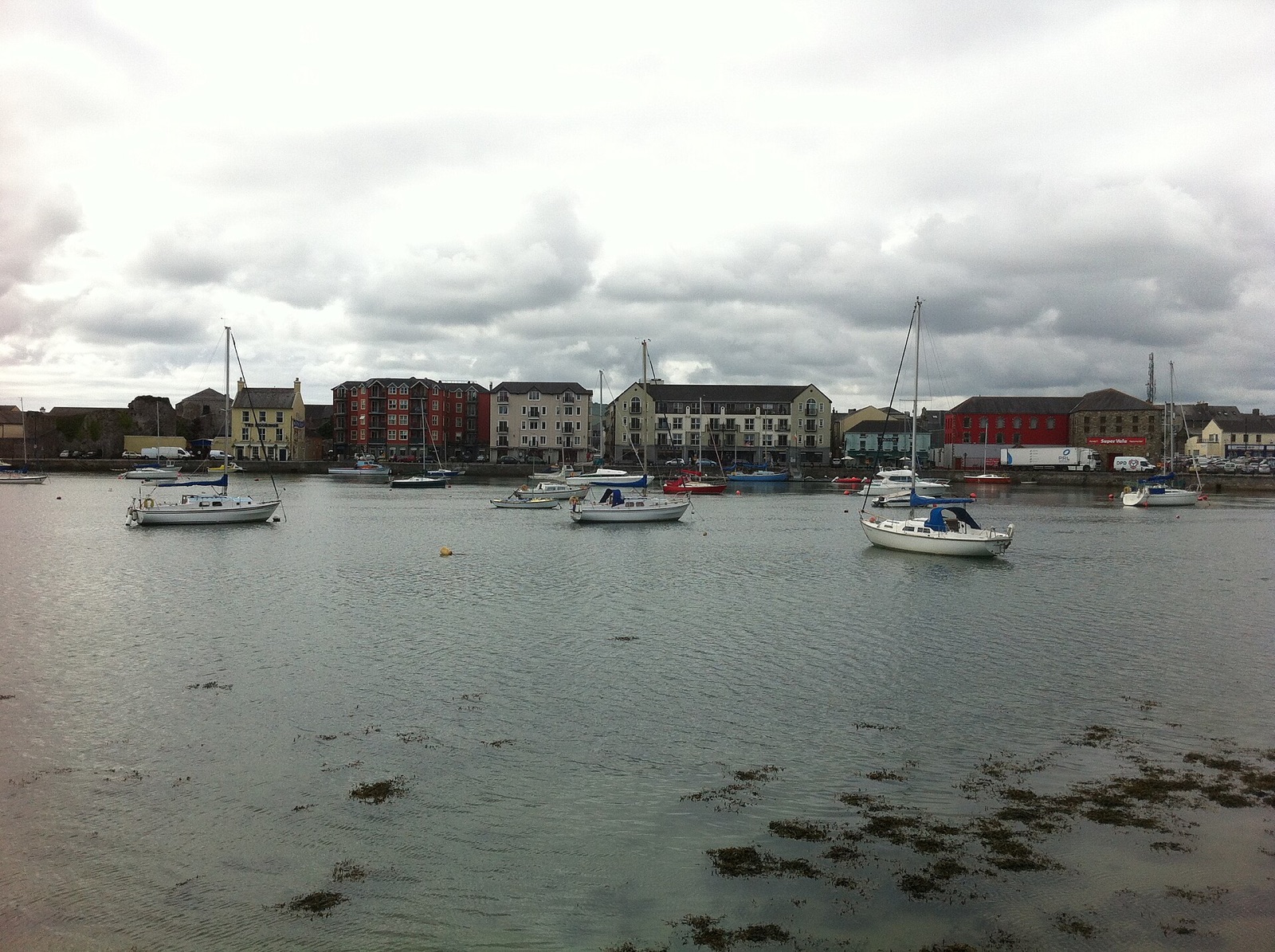
Dungarvan is a harbour town of about 10,000 people on the coast of County Waterford, 40 kilometres south-west of Waterford on the road to Cork. It sits at the mouth of the Colligan River, which splits it in two: Dungarvan proper on the west bank, with the shops, the quays and the castle, and Abbeyside on the east, joined by bridges and a causeway. Until 2014 it was the county town, and it still feels like a working market town rather than a resort.
The town has a long history. St Garbhan founded a church here in the 7th century, which gave the place its name, and the Normans built Dungarvan Castle by the harbour around 1200. It has a rare shell keep, an early type of Norman fortification. The 13th-century Augustinian friary at Abbeyside survives as part of St Augustine's Church. Unlike Waterford, Dungarvan surrendered to Cromwell without a siege. In 1859 the local postmaster dug up the remains of a woolly mammoth here.
Most visitors now come for the Waterford Greenway, the 46-kilometre walking and cycling route along the old railway from Waterford, which ends here. You can hire a bike in town and ride out along the bay to Clonea Strand or further, through a tunnel and over viaducts toward Waterford. East of Clonea begins the Copper Coast, a UNESCO Global Geopark of red sandstone cliffs and coves stretching 25 kilometres to Kilfarrasy, with old copper mines and a surf beach at Bunmahon.
To the south, across the bay, lies the Ring peninsula, the Irish-speaking Gaeltacht na nDéise, with the sand spit of the Cunnigar reaching out into the bay and Helvick Head at its tip. The town has a good food reputation for its size: The Tannery, on the quay opposite the castle, is the most highly rated restaurant. Expressway bus 40 runs hourly between Cork and Waterford via Dungarvan; the nearest railway station is Waterford.