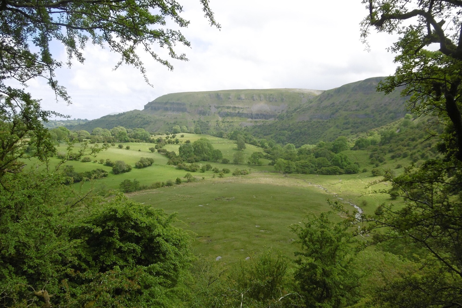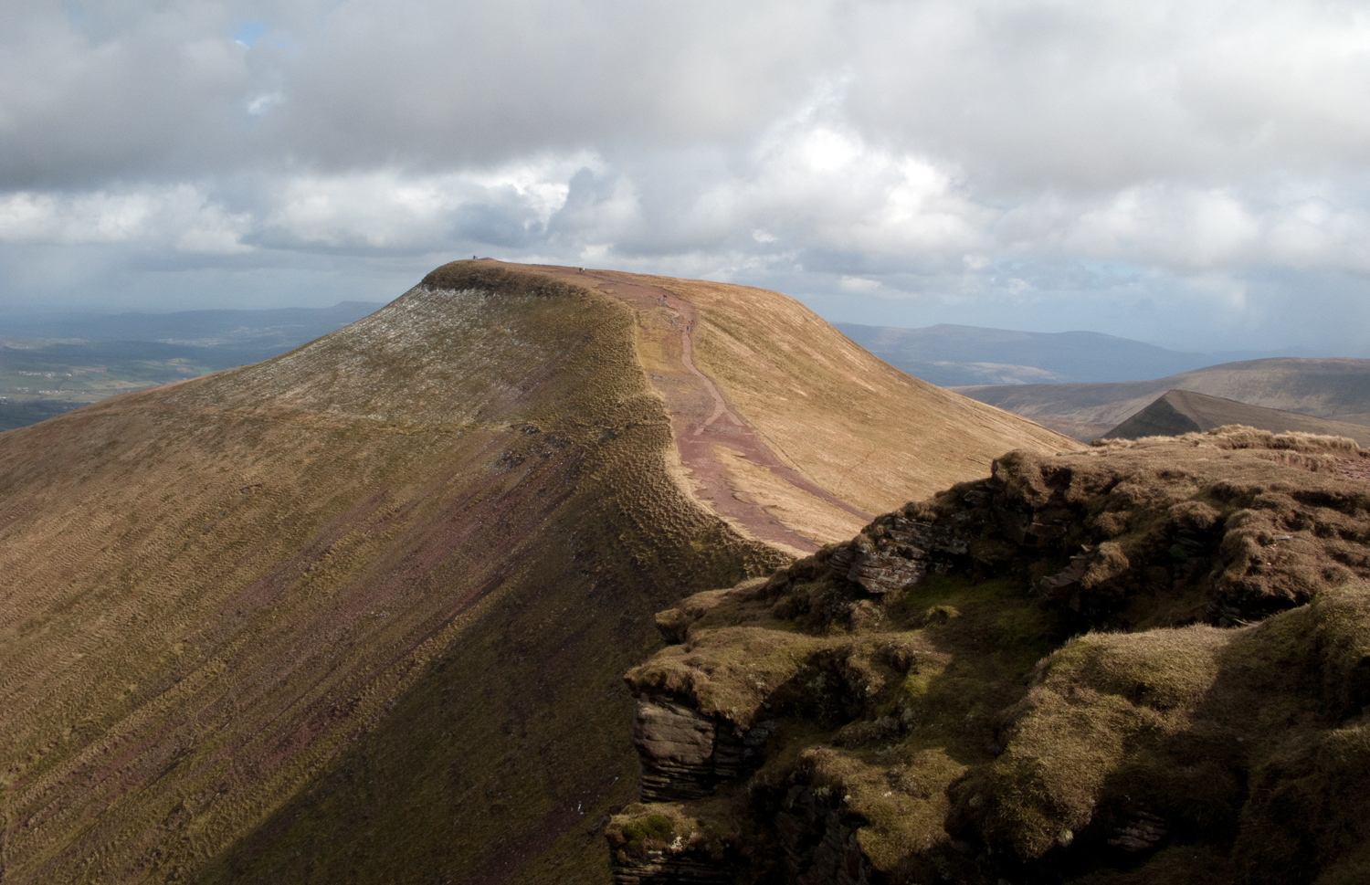
The Brecon Beacons, officially Bannau Brycheiniog since 2023, is the national park across the middle of South Wales. It is open upland rather than mountain: long grassy ridges and steep north-facing escarpments of red sandstone, with Pen y Fan, at 886 metres the highest point in southern Britain, at the centre. The walk up from the Storey Arms or the Pont ar Daf car park is the most popular hill walk in Wales; the horseshoe from Taf Fechan is the better day out.
The park runs east to west in four blocks. The Black Mountains on the English border have long ridges above Hay and Crickhowell. The central Beacons around Pen y Fan rise south of Brecon. Fforest Fawr and the lonely Black Mountain (Y Mynydd Du) lie to the west. Along the southern edge, the sandstone gives way to limestone, and the rivers Mellte, Hepste and Nedd Fechan drop over a string of waterfalls before vanishing into caves. This is Waterfall Country, around Ystradfellte and Pontneddfechan, where you can walk behind the falls at Sgwd yr Eira.
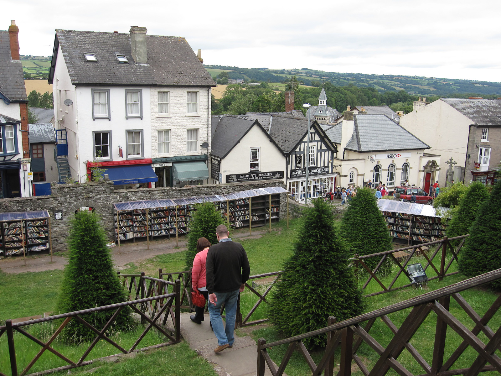
The park is also an International Dark Sky Reserve, and on clear nights the Milky Way is easy to see. The towns around the edge make the bases: Brecon for the central Beacons, Crickhowell and Abergavenny for the Black Mountains and the Usk valley, Hay-on-Wye on the northern edge, and Pen y Cae for the show caves. The weather changes fast on the tops, even in summer.