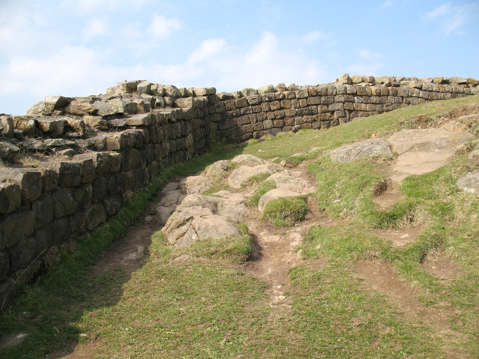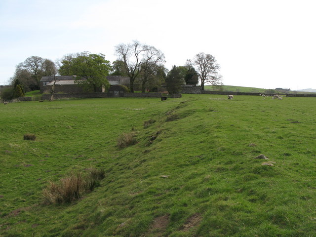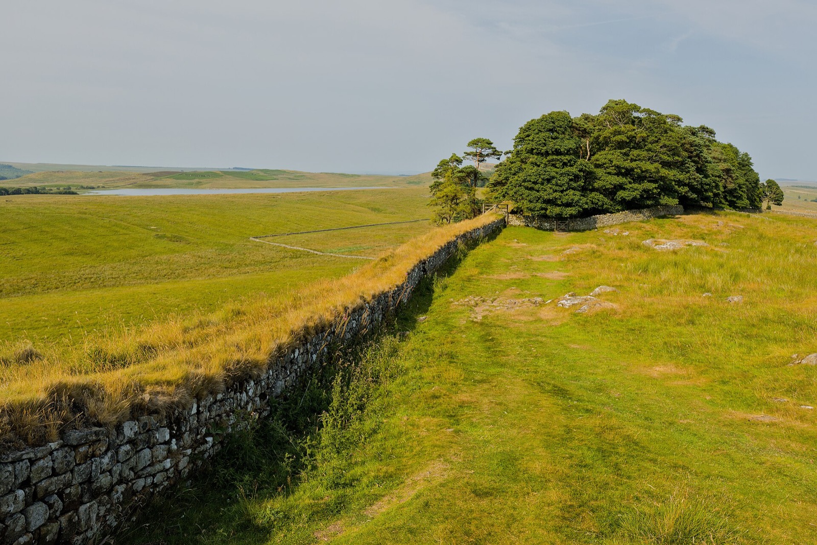
Hadrian's Wall was built on the orders of the emperor Hadrian from AD 122, and for nearly three centuries it marked the northern frontier of the Roman Empire. It ran 73 miles from Wallsend on the Tyne to Bowness-on-Solway on the Irish Sea, with a fort every few miles, a small milecastle every Roman mile and two turrets between each pair. It is a UNESCO World Heritage Site.
The stretch to come for is the middle, where the wall rides the crest of the Whin Sill, a long volcanic ridge with crags dropping away to the north and loughs in the hollows below. Between Steel Rigg and Housesteads you can walk along it for miles with nothing modern in sight. Sycamore Gap, the famous dip with its lone tree, lost the tree to vandals in 2023; the gap and the wall either side are still there.
The forts are the other half of a visit. Vindolanda, just south of the wall, is still being excavated every summer and has the writing tablets, the earliest surviving handwritten documents in Britain. Chesters by the North Tyne has the best-preserved bath house. At the eastern end, Segedunum in Wallsend is on the Newcastle Metro.
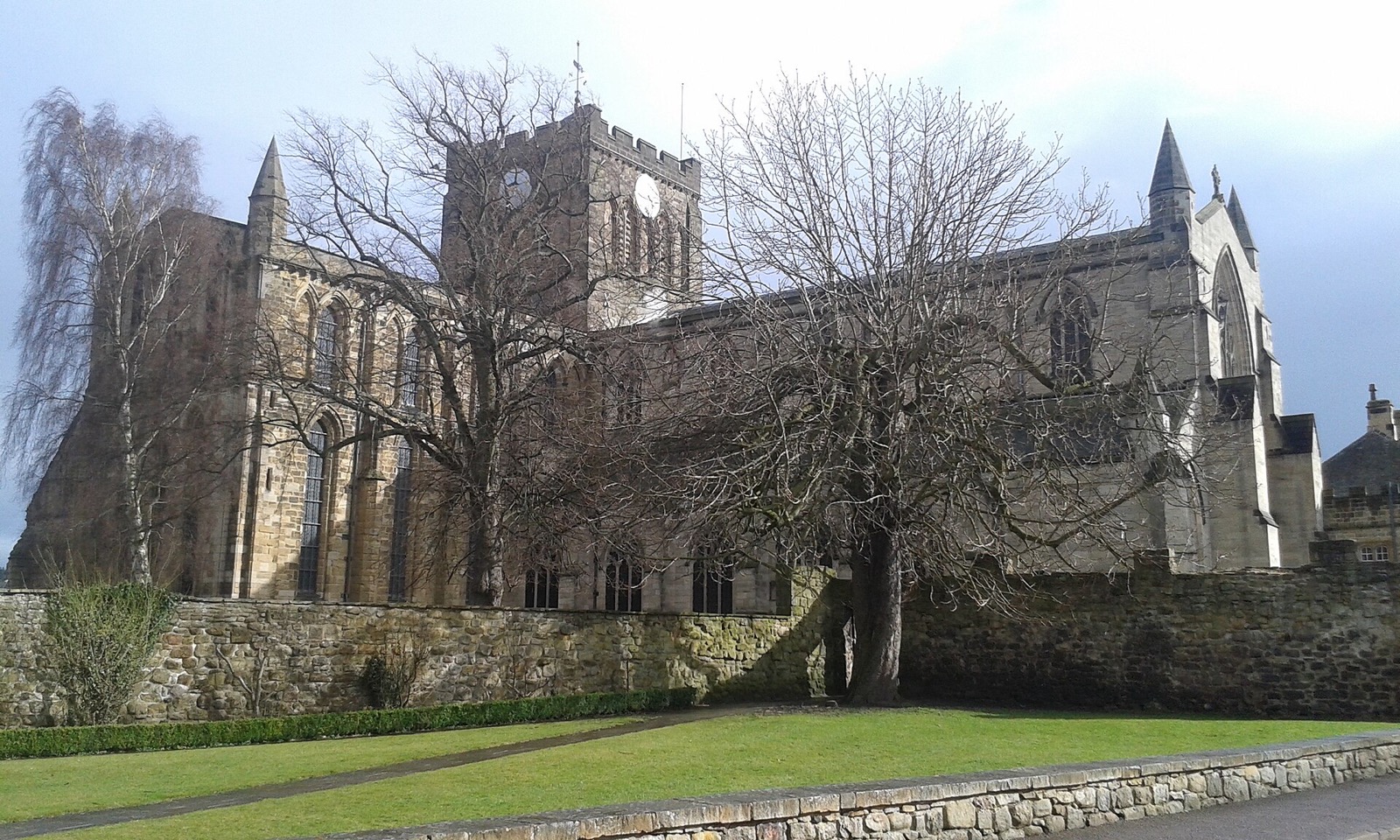
The Hadrian's Wall Path follows the whole line coast to coast, 84 miles in six or seven days. Hexham and Corbridge, with its Roman town, are the best bases. In summer the AD122 bus runs along the wall between Hexham and Haltwhistle, which makes one-way walks easy. Out of season you need a car.