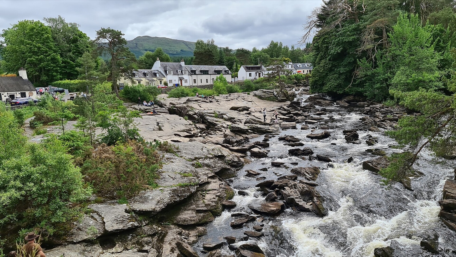
Killin is a stone-built village at the western head of Loch Tay, in the old Highland district of Breadalbane, inside the Loch Lomond and the Trossachs National Park. Few villages have a better front door. You arrive over a narrow, many-arched bridge with the Falls of Dochart foaming over black rock on both sides. Below them, the river runs round the wooded island where the MacNab chiefs are buried.
The MacNabs were eventually pushed out by the Campbells of Breadalbane, whose ruined stronghold of Finlarig stands in the trees north of the village, beheading pit and all. Killin was Gaelic-speaking for most of its history. The minister here, James Stuart, published the first New Testament in Scottish Gaelic in 1767, and there's a monument to him in the village. Up Glen Lochay, the Moirlanich Longhouse shows how ordinary people lived here in the 19th century.
Most people come to walk. Ben Lawers, the highest mountain in Perthshire, and the Tarmachan ridge rise above the north shore of Loch Tay, and the Ben Lawers range is a nature reserve famous for its alpine plants. The Rob Roy Way and National Cycle Route 7 pass through the village, and the loch has fishing and watersports. The railway, which came in 1886 and ran on to a steamer pier on Loch Tay, closed in 1965.
Killin is about 90 minutes' drive from both Glasgow and Edinburgh, and there are no trains. It makes a fine, quiet base between Callander, Crieff and Glen Coe. The nearest petrol is at Lix Toll, just south of the village.